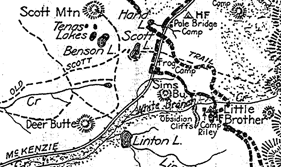
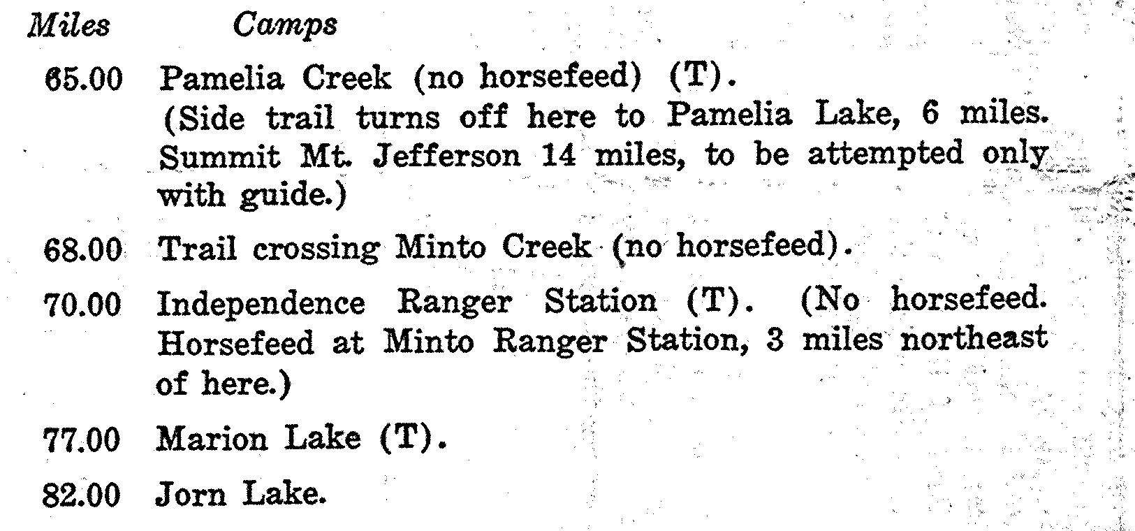
The above is a small section of the map showing where it crossed the original McKenzie Pass Highway (in 1921 the modern Santiam Pass crossing (Hwy 22) did not exist)......Below is a sample of a portion of the mileage log section of the map; the "65.00" miles marks 65 miles from the Trail's northern terminus at Mt. Hood.
Price: Originally, I offered a full-size, two-sided, laminated version, but that became too problematic for a couple reasons. One was that the price of laminating went through the roof, then the coup de grace was when the place where I got them printed told me their "new" machine could no longer produce the map two-sided!
Size: the full-size map dimensions are 24x17.5 inches.
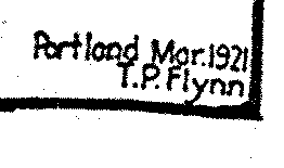
Background of me offering the
historic 1921 Oregon Skyline Trail map---
This map is not some big, money-making, volume business-- it's
just a tiny sideline thing that I put out there for the hiking
community a few years ago. It's a very sporadic and occasional
thing that someone wants one. It's not practical or feasible
for me to try to search out volume deals from big printing businesses
on these. The maps are made up pretty much one at a time for a
specific person who has contacted me, and they involve quite a
bit of running around for me to go to speciality places to get
them made up and then shipped from a post office...With the price
of gas now in the stratosphere, I'm again very aware of how much
money driving around for printing and post offices costs me. And
also recently there have been big increases by the US Post Office
in their rates, especially related to larger things like mailing
tubes for rolled, unfolded maps. .
The laminated version was very desireable because with it one could display the map on a wall, and flip it over from time to time if desired. And for those users who wanted to take the map with them into the wilderness in search of the old trail, the protection from dirt and moisture was crucial. If lamination is desireable to you, then you will probably be able to get it done by your local Kinkos for somewhere between $10 and $20.
I am currently offering only the unlaminated version, which will cost $16.00. It will come in the form of two separate sheets-- one with the map itself, and the other with the extensive, historically interesting text that's on the backside of the original map. The two sheets will be folded into a standard 8x10 envelope. Note: If you would like a rolled, unfolded version, please add $8.50 to cover the costs of a mailing tube and the extra time/effort it takes me to go to a post office to get it mailed... Second Note: please be aware that this is not a business for me, and I may be too busy with regular life to get a map made up for you in a timely fashion.
Map Segments via Email: if people would like to explore being sent portions of the map via email, I could consider that option if people would be willing to pay me $6 via Paypal for my efforts (I've recently had the original scanned at high resolution, for a rather high price of $65). If using the email option, be aware that I am limiting this to folks wanting to see specific portions of the old trail-- I'd want them to specify which section of the trail they would want. Then I would custom crop and size that portion of the 1921 map for them, and email them the results as a jpg file.